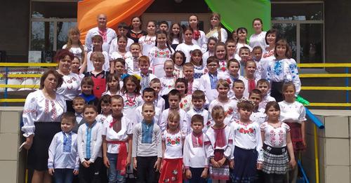
The Berestivska rural territorial community was formed in 2015 by merging the Berestivska, Mykolaiv and Troitska village councils. The community includes eleven settlements: Berestov, Sachki, Dovbyne, Troitske, Kalaitanivka, Glodove, Mykolaivka, Novosoldatske, Novoivanivka, Rodyvonivka, Malynyvka. The administrative center is the village of Berestov. The total area of the community is 498.15 square meters. km The population as of 2022 is 4,023 residents. There are three secondary schools, three preschool educational institutions, two family-type dispensaries, culture centers, and a network of trade facilities on the territory of the community. The Berest territorial community has an extensive network of paved roads.
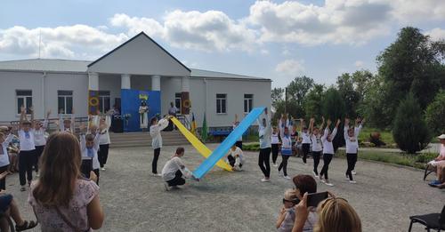
In the X-XI centuries. Art. Nomadic tribes lived on the territory of the Berest community for a long time. From those times, 14 stone women have been preserved. The villages of the Berest community were founded in 1801-1836 by immigrants from the Poltava and Chernihiv provinces. Before the settlement of the Azov steppes, one of the fortresses of the Dnieper line of fortifications, Zakharivska, was located near the present village of Kalaitanivka.
Until 1833, the early settlers used as much land as they could cultivate, as there were still plenty of vacant lots. More and more groups of immigrants arrived in the village, among them many fugitives from serfdom from the northern provinces of Ukraine. Due to population growth, the number of free plots of land quickly decreased, and in 1833, when the village became the center of the parish, the land was divided into Reviz souls, Berestov was united with the surrounding hamlets into one land municipality.
In the first decades of the 19th century in the farm of the peasants, animal husbandry prevailed, mainly sheep were bred. The growth of industrial cities after the reform of 1861 increased the demand for agricultural products, primarily for bread. In Berestovo, as in other villages, the main direction of the economy became agriculture, primarily growing wheat for sale.
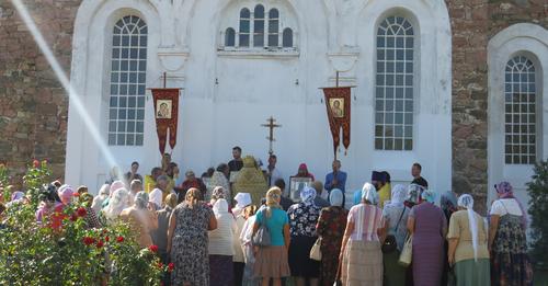
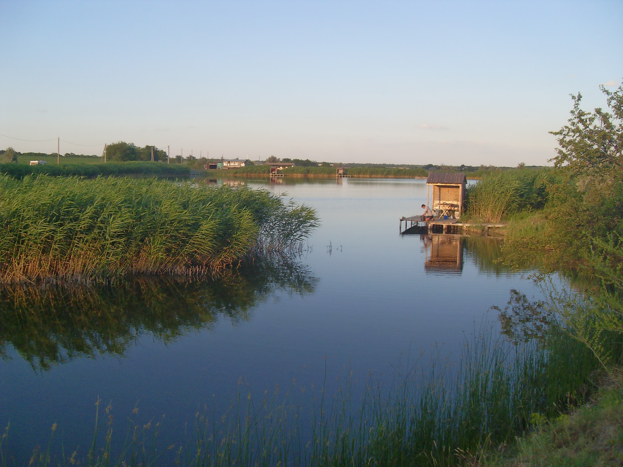
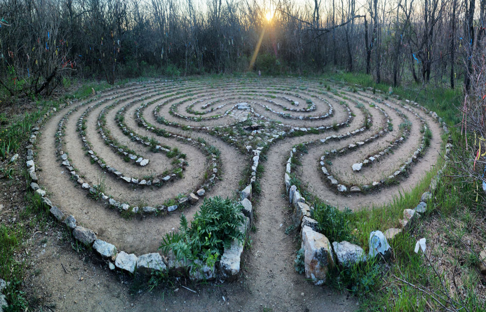
The Berestiv community is located in the southeast of the Berdyan district, borders the Donetsk region in the east, and has great potential for the development of green tourism. The Berestova and Berda rivers flow across the territory of the community, there is the Berdyan reservoir and many small steppe ponds. Berestivsk community is rich in historical monuments - Zakhariv Fortress, Church named after the Holy Prince Alexander Nevsky, Popivska Mogila mound, Orlov Mound, and natural monuments - "Donkey Ears", "High Rock", "Granite Rocks". , "Cherry beam", "Mykolaiv Labyrinth".

In the territory of the Berestiv community, there are agricultural enterprises Priazovska AF, Landfort Azov PSP, Lan LLC, Shevchenko AF, Marija FG, Illich Agro SE and many small farms engaged in the cultivation of agricultural products.
From March 7, 2022, the territory of the Berestiv village council is temporarily occupied by the troops of the Russian Federation.
Sources:
